As fires devastate Los Angeles, another major city is facing fears of a different type of disaster.
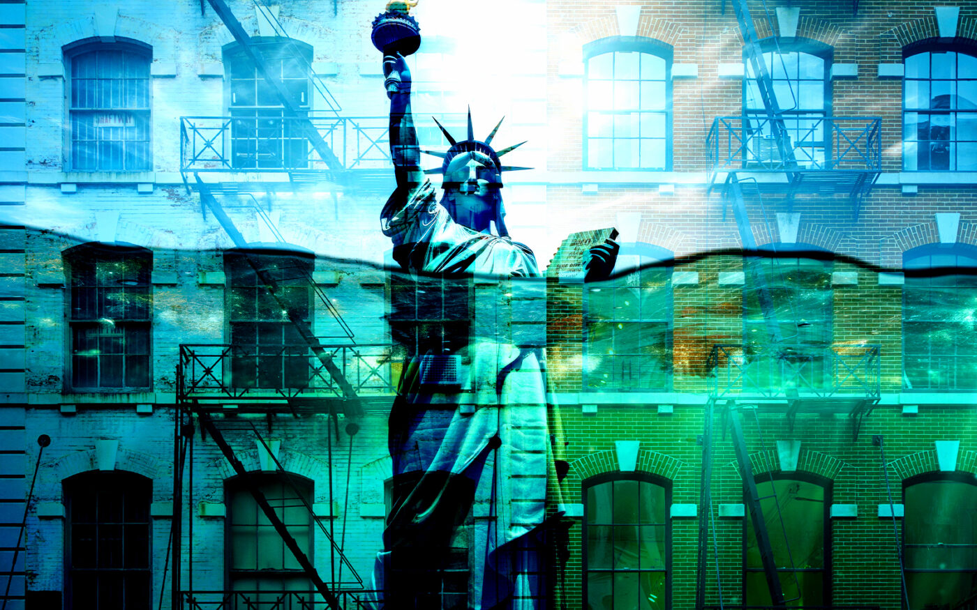
New York City could lose more than 19,000 homes to flooding in the next 15 years, according to a report from the Regional Plan Association. The potential destruction, as detailed in The City, would be worse than the devastation wrought by Hurricane Sandy nearly 15 years ago.
Rising sea levels and intensifying storms could devastate coastal neighborhoods. An additional 24,300 housing units are at risk of substantial damage from major storms by 2040. There’s a 1 percent chance of a major storm occurring in any given year.
Tens of thousands of more homes are at risk on Long Island and in Westchester County over the same span.
The potential housing losses threaten to worsen the city’s housing crisis and mirror recent climate-related disasters in other major cities, such as Los Angeles’ recent fires that destroyed more than 16,000 structures.
“It’s our version of what’s happening now in L.A.,” Eric Sanderson, vice president for urban conservation at the New York Botanical Garden’s Center for Conservation and Restoration Ecology, told The City. “They have the fire, we have flooding.”
The Rockaways and Broad Channel in Queens face the highest flood risk in the city, followed by waterfront areas in Queens and Brooklyn, including Howard Beach, South Ozone Park, Bergen Beach, Canarsie and Flatlands. Many of these neighborhoods already experience regular flooding during high tides, a problem exacerbated by rising sea levels that have increased by about a foot since 1900.
The impact of such losses is already visible in places like Edgemere in Queens, where empty lots and abandoned homes still dot the landscape more than a decade after Sandy. The 2012 storm damaged 100,000 homes on Long Island and nearly 70,000 housing units in New York City, with about 20 percent of the latter becoming uninhabitable.
“We’re going to experience both a gradual ramping up and a couple of shocks,” said Moses Gates, RPA’s vice president for housing and neighborhood planning.
The study’s projections didn’t account for ongoing flood protection projects, but also excluded potential damage from stormwater flooding, like that caused by Hurricane Ida in 2021, which impacted 33,500 buildings citywide. Experts suggest expanding the region’s housing supply to mitigate the potential floods’ biggest impact on the market.
Read more
Development
National
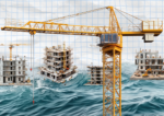
Developers not afraid to build in high-risk areas, despite more fires and floods
Commercial
New York
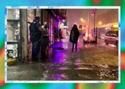
Storm flooding is reckoning for New York City real estate

New York
Surveying the destruction